91 results found
The project consists of a road concession procurement for exploiting infrastructure and public services provision for recovery, operation, maintenance, monitoring, conservation, implementation of improvements and maintenance of the service level of the BR-262/ES Highway, in the road section between BR-101 (B) - Viana/ES - up to the frontier between ES/MG; BR-262/MG, in the road section between ES/MG frontier with BR-381/MG - João Monlevade/MG; and BR-381/MG, in the road section between Belo Horizonte/MG to Governador Valadares/MG
The N4 Toll Route is a brownfield toll road concession of 630 kilometres running from Pretoria, South Africa?s administrative capital, to Maputo, the capital of Mozambique and a deep-sea port on the Indian Ocean.
The Øresund Fixed Link (the Link) is a combined bridge and tunnel link across the Øresund Sound (the Sound) between Denmark and Sweden.
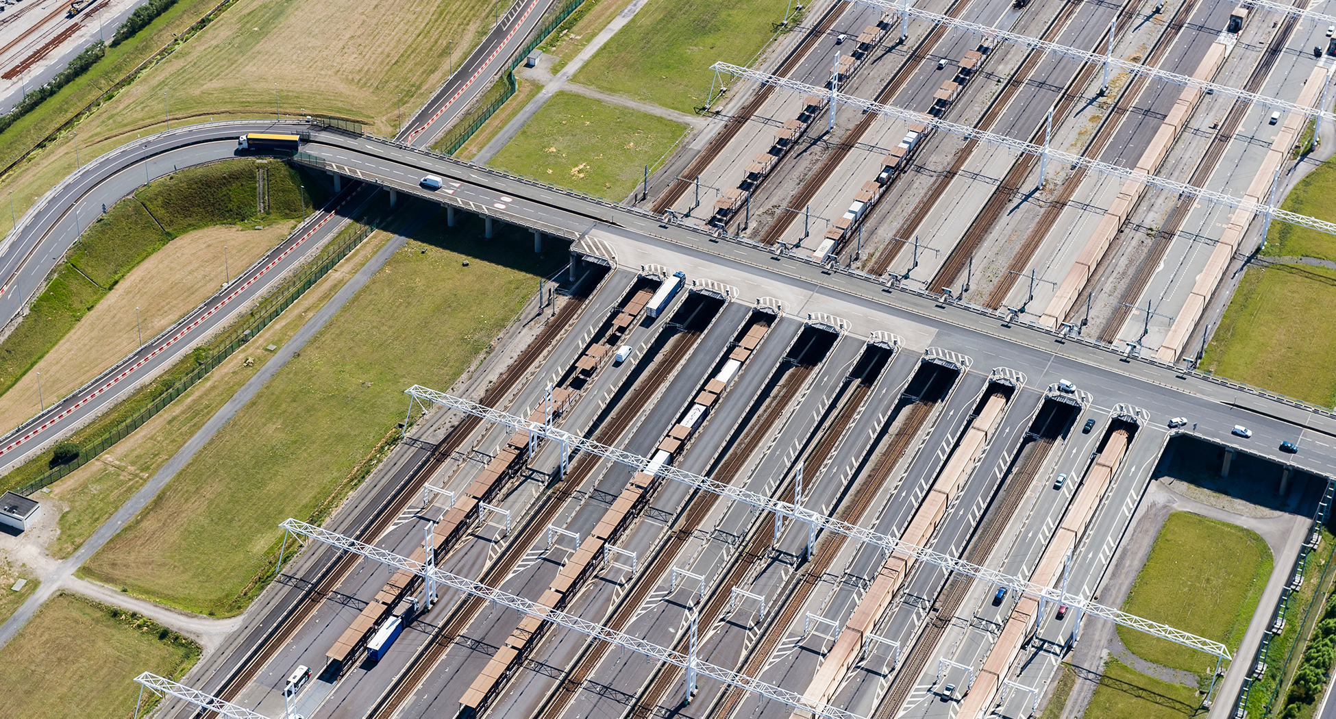
The Channel Tunnel is a roughly 50 kilometre-long rail tunnel linking Folkestone, Kent, in England, with Coquelles, Pas-de-Calais, near Calais in northern France, beneath the English Channel at the Strait of Dover.
The Gordie Howe International Bridge is a land border crossing between Windsor, Ontario, Canada and Detroit, Michigan in the United States (US).
The Piracicaba-Panorama concession in Sao Paulo is one of the largest road concessions in Brazil, spanning a network of highways that covers 1,200km of distance
Existing bus services along the Broadway corridor, one of Vancouver's busiest, were proving increasingly inadequate in the face of growing transportation demand
Brazil has a policy named Urban Operations which is used to promote requalification of underdeveloped urban areas through PPPs
V2V technologies are Cooperative Intelligent Transport Systems (C-ITS) that enable communication between vehicles to avoid accidents and and enable the optimisation of traffic flow.
A dynamic tolling algorithm recalibrates toll rates based on traffic congestion and local conditions every few minutes and is a tool to manage traffic demand through pricing.
Pedestrian and weather sensors installed at road intersections to adapt traffic light operation to match real time demand and safety requirements.
Advanced traffic management systems improve the performance of road services through the use of sensors, GPS, smart cameras, and weather information systems.
The use of sensors and robotics technology to enable preventive and predictive maintenance of bridges.
Regional navigation and information system enabling remote monitoring of location and condition of vehicles (e.g. school buses and ambulances) and quickly respond to unforeseen events or violations of the route schedule.
A central system of roadside installations and equipment relying on Dedicated Short Range Communication (DSRC) that replaces conventional toll systems to enhance operational efficiency and reduce long waiting times for vehicles.
Discover three trends in infrastructure design and use that resulted from the pandemic and are likely going to remain relevant to the infrastructure of the future.
This report presents the findings of the analysis of unit costs and cost overruns of road infrastructure projects in Africa.

Following a 1997 study, the Government of Chile sought to improve the country's main North- South axis between the cities of Santiago and Talca
The Peruvian government had an ambitious plan to rejuvenate 955km of roads connecting the fluvial port of Yurimaguas with the Pacific port of Paita
The government of India sought to raise c. USD 12.5B1 for infrastructure development through an asset monetization program that identified c. 6400km of road networks across 75 operational projects and split them into 10 bundles to auction as concessions


 Infrastructure Futures and Megatrends


